Trip up the Dampier Peninsula
I had seen enough small places (Coconut Wells and Quondong Point) on the Dampier to be hungry for a longer and more detailed stay. I set off early one morning for Cape Leveque and One Arm Point which are situated at the top of the Dampier Peninsula. Once you turn off the Broome to Derby road the Cape is another 225km away. After the first ten kilometers of bitumen the road becomes a graded gravel road that slowly deteriorates from bad to woeful. The idea was to head for Leveque and One Arm Point and then to work my way back to Broome along the southern side of the Dampier.
Not everybody knows that the stretch from Broome to Leveque, King Sound, Derby and beyond has some of the highest tidal differences in Australia. At Derby the differences are over 12 meters at certain times of the year. This results in the coastal waters running into and out of Kings Sound at one heck of a speed. I have been up the Fitzroy River when the tidal surge came in from the sea like a tsunami heralding the next high tide. It sounds as if one is standing on the banks of a river rather than an ocean shore. Consider what effect the tides have on the harbors in the area. The piers are built on pylons 12 meters high. How do you load a boat at the spring low tide??
See some links below re Dampier peninsula
The Dampier Peninsula is a peninsula located north of Broome and Roebuck Bay in Western Australia. It is surrounded by the Indian Ocean to the west and north, and King Sound to the east. The northernmost part of the peninsula is Cape Leveque
https://en.wikipedia.org/wiki/Dampier_Peninsula
http://www.kimberleyaustralia.com/broome-cape-leveque.html
http://www.cygnetbaypearls.com.au/
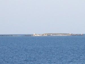
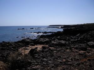
The trip was long and dusty, but I arrived at One Arm Point later in the afternoon. This is an Aboriginal community at the top of the Dampier peninsula. It has a supermarket, a servo and a few public buildings. The coastline has several rocky outcrops just offshore . There are some pearl farm or oyster farm businesses that have their premises just out of town. There also is a crude short runway to land a small plane. Here at One Arm Point the tidal waters rush into and out of King Sound, depending on tide.
For more images see: https://www.google.com.au/search?q=one+arm+point&biw=1366&bih=639&tbm=isch&tbo=u&source=univ&sa=X&ved=0CCYQsARqFQoTCJuSwL6A28gCFYWklAod8uoCIQ
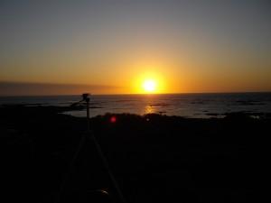
I headed back down the road from One Arm Point and spent the night a t a local camp ground close by. The views towards the evening glow after sunset were great, but the running tide made it sound as if I had been camping in a river. The facilities were basic.
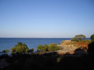
The next day I went down the road and turned off towards Middle Lagoon. After a sandy track for many kilometers one arrives at a great camping ground with trees and its own beach. The grounds are expansive and have a small rock ledge over the sea. There you look into 15 – 25 foot of crystal clear water and see corals, turtles and fish swimming by. I tried some fishing but did not catch anything.
I camped for the night and had a lovely evening under a big tree.
See link below for better images from that Dampier area than my crappy pics.
James Price Point (JPP)
The next day I continued south and decided to visit this destination as I had read about this point of controversy in the months leading up to my trip. Woodside Petroleum intended clearing a few sq, kilometers of coast and building a gas refinery. It was going to have a major harbor construction as well. In short this caused an international outrage and likeminded people congregated in the area to protest and stop this from happening. History shows that a few years later the project was canned. This area will remain pristine.
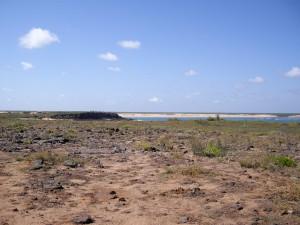
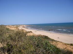
At the turn off to JPP the protesters had set up a camp so you could not miss the place. I drove along the 30+ kms to get to JPP. It is stunningly beautiful. Red sand cliffs line the beach into the blue Indian Ocean waters. Great spots for fishing emerge at low tide with the tidal difference of up to 10 meters.
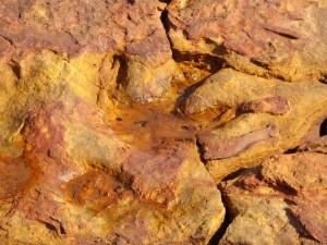
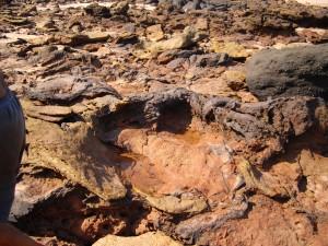
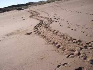
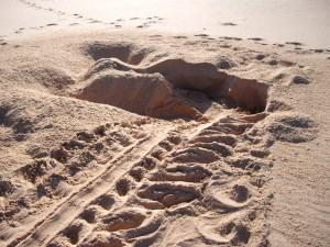
I camped on the cliff for a night and spent the next day exploring the area. At low tide I dived on a reef that was about 50 meters from the low water mark. I saw tracks of turtles that had beached the night before to lay their eggs. Evidence of nests were everywhere. Makes you wonder how people can destroy such natural beauty just for profit. I had a local aboriginal elder explain to me why they were protesting. Another regular at this spot showed me dinosaur tracks that were visible at low tide.
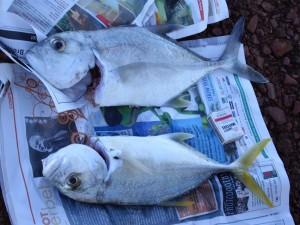
I asked some of the Aboriginal people where they would go fishing in this area. They described a place 10km up the coast. I went there on day 2 and caught these two trevally.
I went back to Broome the next day, much wiser and enriched. I have since been back to this location twice more and loved it.


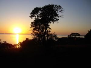
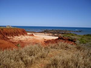
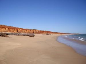
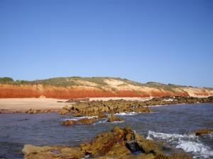
yerre yeessus masta, lekka plekkie byrie see!!!!
Yeah, I know!